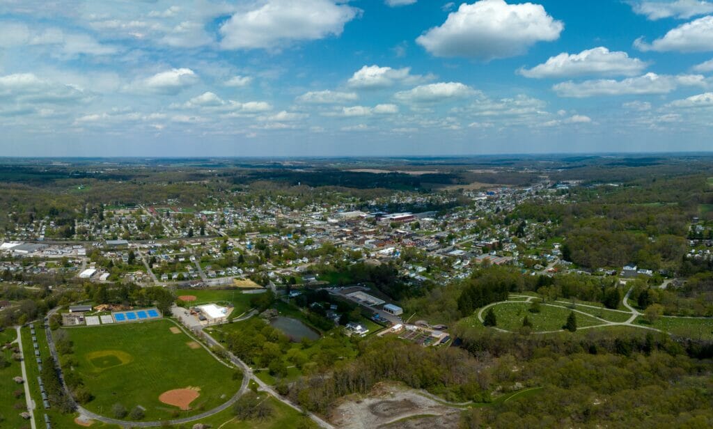
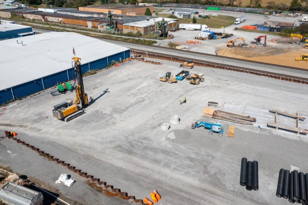
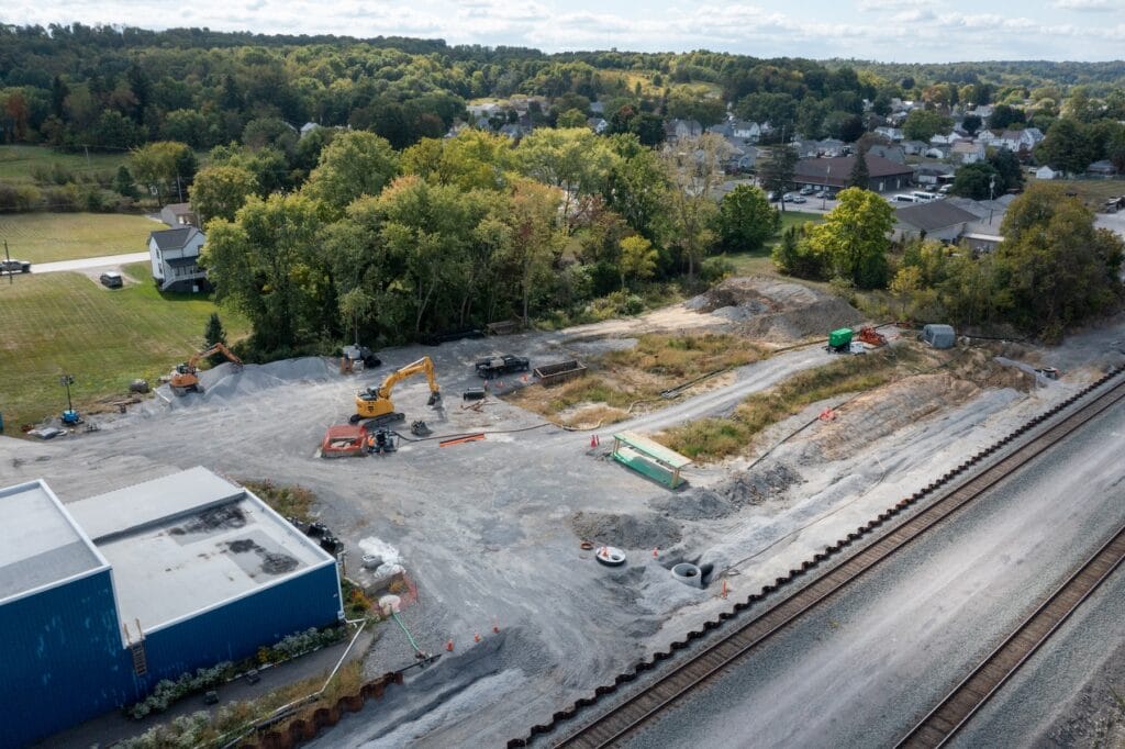
Site Progress
Norfolk Southern team members remain on scene, assisted by multiple derailment and environmental contractors. Every step of the way, we are coordinating with federal, state and local agencies.
We will see this through
Read the latest on our commitments and progress to date
74M gallons of water recovered and transported offsite
237,713 tons of waste soil removed
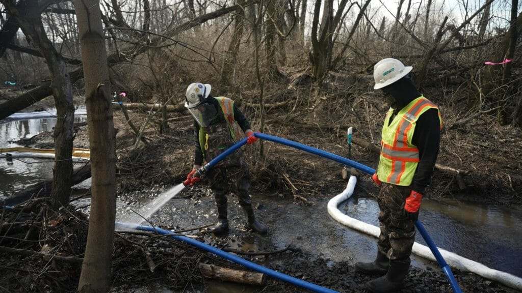
Flushed 5,200 feet of impacted waterways
1,960 drinking water wells sampled
7 DAY LOOKAHEAD
Site Updates
— Site restoration activities continue as weather allows. Restoration is largely complete and the remaining minor site work is anticipated to be complete within the coming weeks.
— Particulate air monitoring continues in areas of active operations. As site activities continue to diminish, associated particulate air monitoring will be reduced accordingly.
— Surface water, groundwater, sediments, and drinking water monitoring continues per the schedules defined in the associated work plans.
Sulphur and Leslie Run Activities
— Data from the March/April 2025 stream reassessment were reported to EPA on June 20. No human health risks related to the derailment were identified in surface water in the two previous assessments performed in 2024.
— A final stream mitigation work plan to address certain segments of Sulphur Run where sheens were identified during the March/April 2025 reassessment was approved by USEPA and implementation of the final mitigation tactics continues. The mitigation work is anticipated to be completed within one-two months and will be followed by a final stream assessment to evaluate attainment of the work plan goals.
Regulatory Oversight
- Centers for Disease Control and Prevention (CDC)
- Columbiana County General Health District
- Federal Emergency Management Agency (FEMA)
- Federal Railroad Administration (FRA)
- National Transportation Safety Board (NTSB)
- Ohio Department of Health (ODH)
- Ohio Department of Natural Resources (ODNR)
- Ohio Environmental Protection Agency (Ohio EPA)
- Pennsylvania Department of Environmental Protection (PADEP)
- United States Department of the Interior (DOI)
- United States Environmental Protection Agency (USEPA)
- United States Fish and Wildlife Service (USFWS)